

寶雲道斜坡研習徑 app for iPhone and iPad
Developer: Civil Engineering and Development Department
First release : 28 Oct 2016
App size: 84.39 Mb
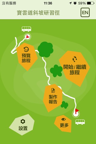
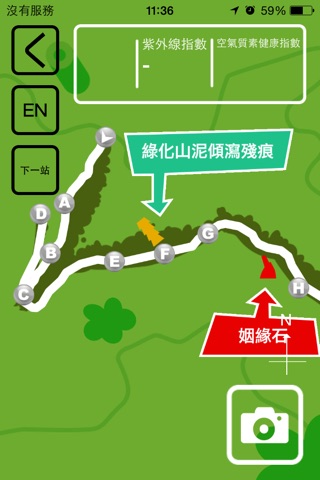
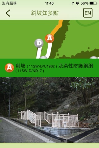
The Civil Engineering and Development Department has developed a mobile application which presents an interactive multimedia self-guided tour to facilitate teachers, secondary school students and interested members of the public for a trip along Bowen Road about stabilization measures for slopes in Hong Kong. The tour is along Bowen Road Fitness Trail, starting at Wan Chai Gap Road and ending at Stubbs Road. The application makes use of the Global Positioning System to guide the user to navigate along the trail. There are a number of Study Points in the tour at which information about particular kinds of slope works will be introduced. The application will automatically prompt the user to explore the relevant information once he/she reaches a Study Point. There are also a few Quiz Points where the user’s understanding of the previously presented slope information will be tested. The application will record the user’s quizzes results and his/her navigation information for generating a study report. Student users can report their study results to their teachers by sending the study report via their mobile devices.
Disclaimer
Continued use of GPS running in the background can dramatically decrease battery life.